£20
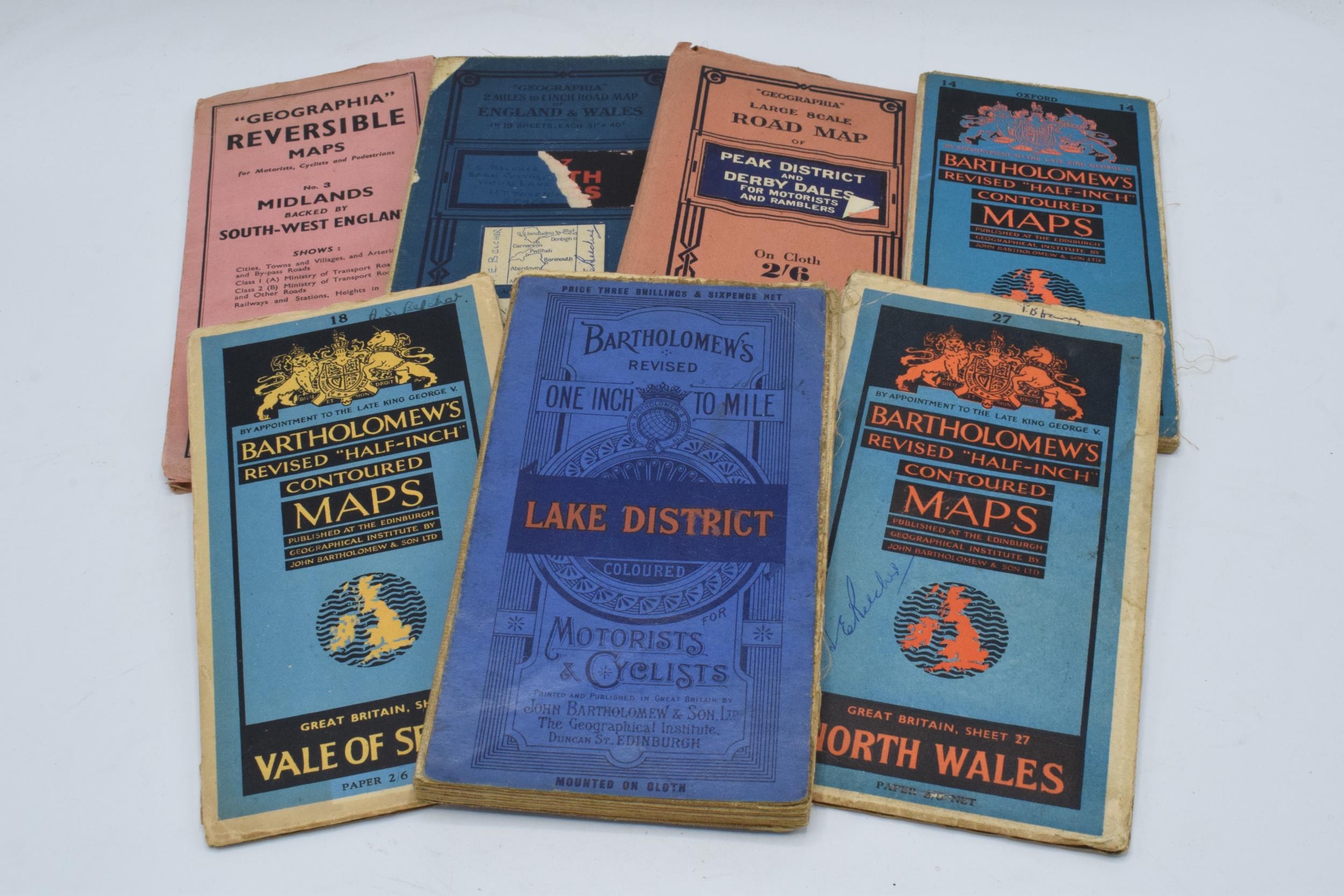
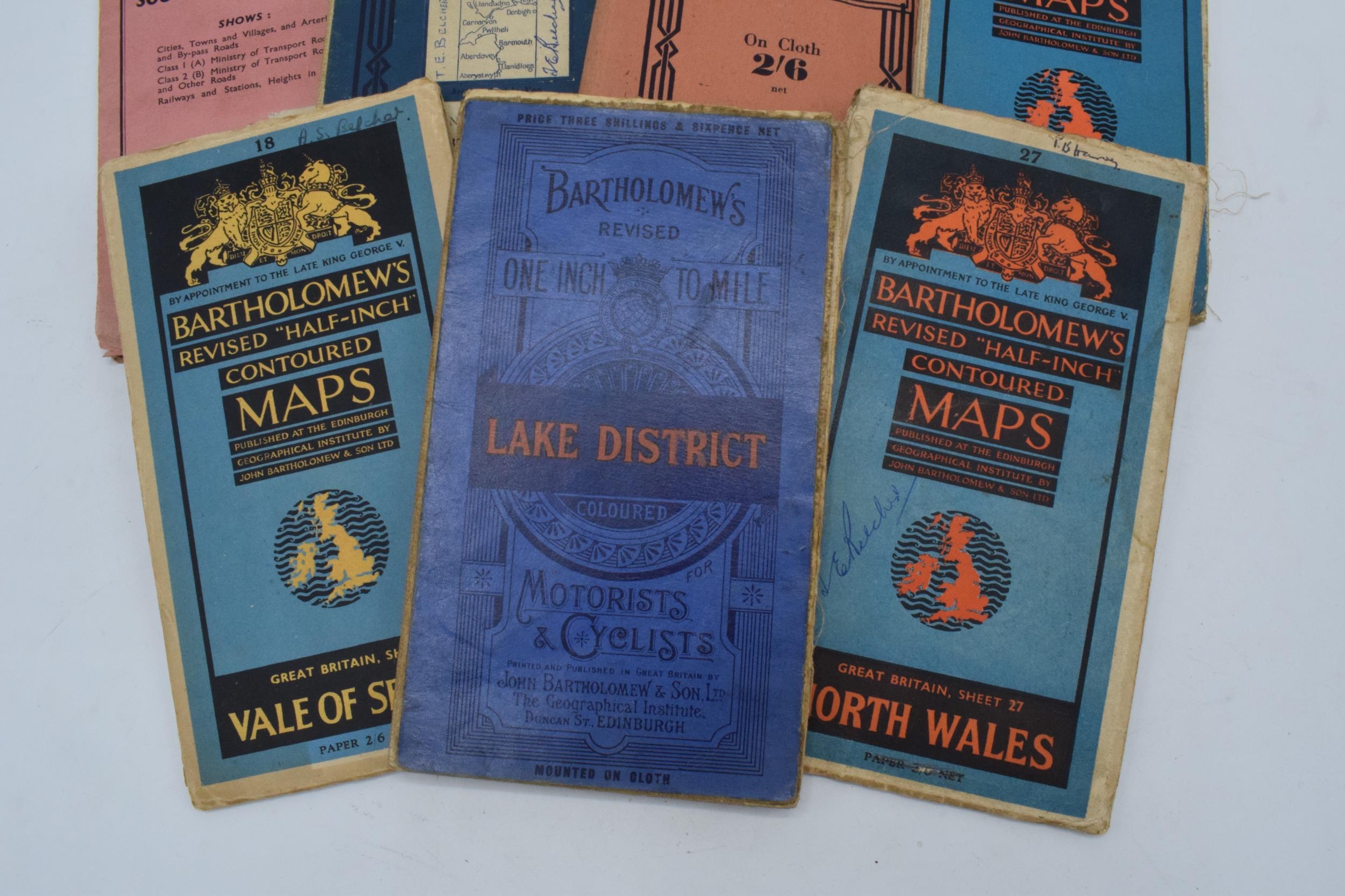
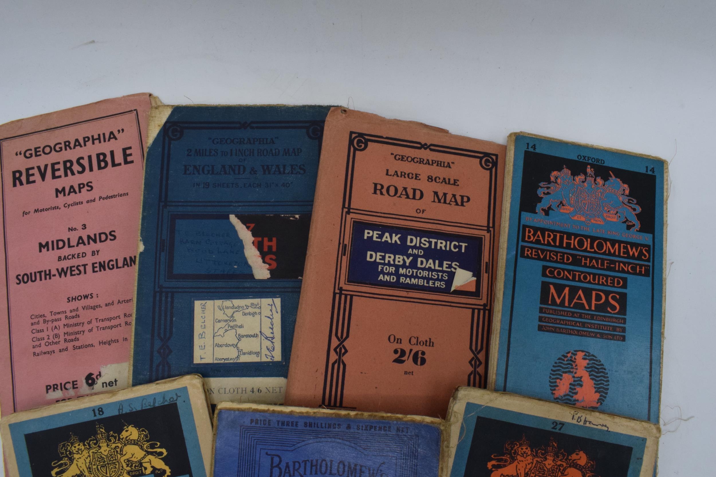
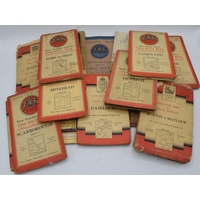
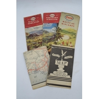
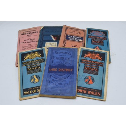
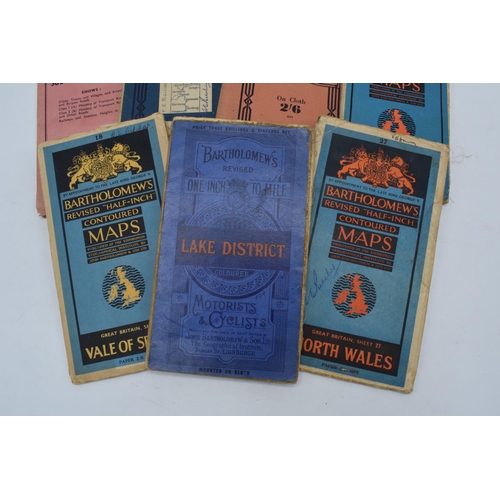
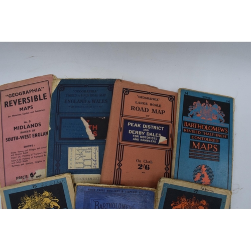
Maps of areas of England and Wales, believed 1940s/50s including Bartholomews maps of Lake District (cloth), Oxford (cloth) and North Wales (paper), Geographia large scale road map of Peak District and Derbyshire Dales (cloth), Geographia road map of North Wales (cloth) and Geographia Reversible Map of Midlands backed by South West England (paper)
Fees apply to the hammer price:
Room and Absentee Bids:
24% inc VAT*
Online and Autobids:
27.6% inc VAT*